
For this year 2021, a new period of tropical storms and hurricanes is announced less intense than 2020, but above the known average. It is announced that up to 12 tropical phenomena may affect the Central American region. A region that was strongly affected by an intense rainy season in 2020 and in particular by hurricanes Eta and Iota and the “cascading effect” of disasters that end up affecting the entire socioeconomic and environmental system.
Climate Change does not only manifest itself with rains, but also with droughts and forest fires, particularly in the Central American Dry Corridor that extends from Chiapas, Mexico to Guanacaste, Costa Rica and Azuero in Panama. The UN has announced that there is a danger of famine in the rural areas of northern Central America in the coming months. Famine unleashed by the great damages of hurricanes Eta and Iota and by the drought that has been forecast.
The effects of climate change not only represent rains and droughts, but also the catalysis of some GeoRisks such as floods and avalanches, as well as landslides that cause great damage to crops, roads, houses and all types of infrastructure (roads and vital lines : electricity, water, sewage). Infrastructure which accelerated frequency of affectation far exceeds the capacity to replace it, finally translating into a socioeconomic decline, with an increase in poverty and, consequently, an increase in immigration to North America.
Central America for several years was classified as one of the regions of the world most vulnerable to the effects of Climate Change. This even though its contribution to greenhouse gas emissions does not exceed 0.5% of the total emitted by human activities. And, as if that were not enough, the region presents a very active geological condition because of its origin being directly linked to a strong collision of tectonic plates.
As a good open and natural geological textbook, the Central American region presents the entire spectrum of known GeoRisks: earthquakes, volcanism, active geological faults, landslides, floods and avalanches, subsidence and subsidence, tsunamis in coastal areas, among others. Given this, it is urgent to take effective measures, in the short, medium and long term. Measures aimed at applying a correct and effective preventive risk management and aimed at reestablishing and increasing human and infrastructure resilience.
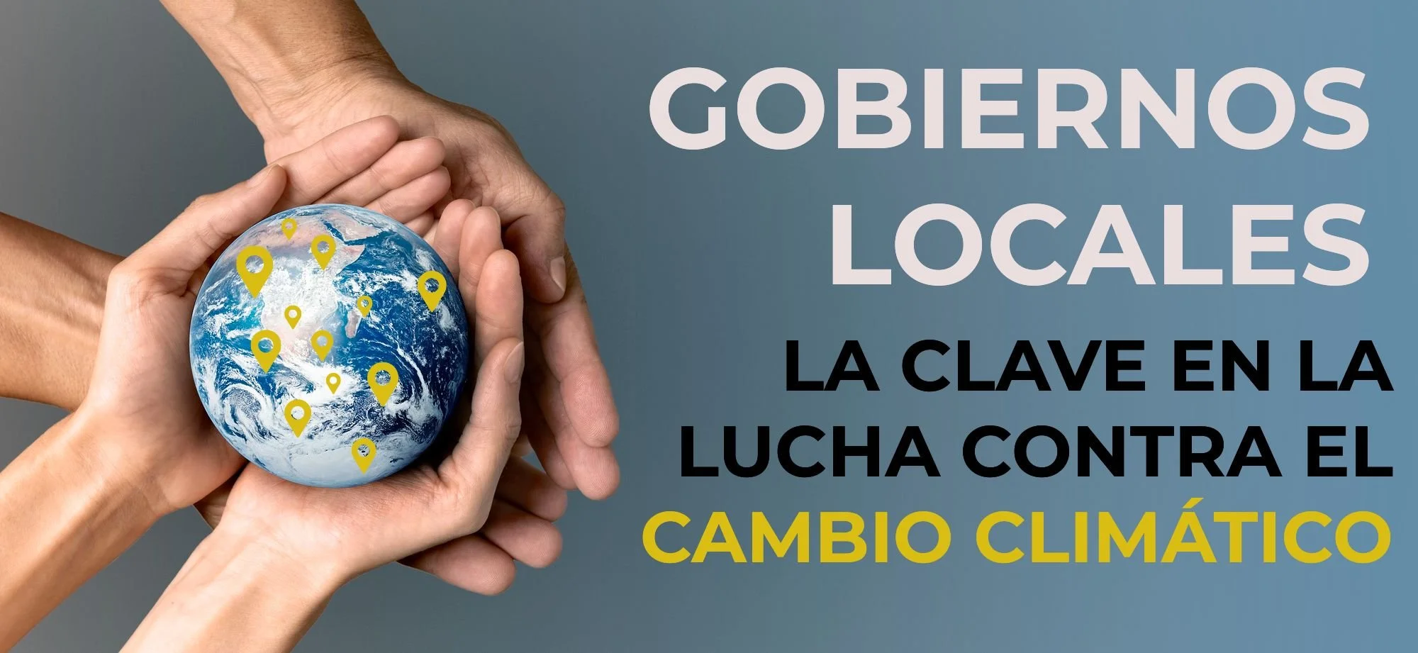
Effective actions: within the framework of the Central American and Dominican Republic Integration System (SICA), great efforts continue to be made to improve information on threats and disasters in the region. In this regard, the support of NASA, in the context of the SICA - NASA Joint Declaration signed in April 2019, has served as an effective catalyst to move forward.
However, there is still a huge task to be done. One of the biggest problems we face in the region is the lack of detailed information (scale 1: 25,000 or less). Environmental information such as geological, geomorphological, neotectonic, hydrogeological and natural and anthropic hazard mapping, among others is needed. As we have indicated on several occasions in the case of geo-hazards, the effects of climate change and even man-made threats, almost all of them (at least 90% can be found on detailed scale maps). This information is vital for the almost 1,500 municipalities that the SICA region has, to be able to carry out effective preventive risk management and to develop local strategies to increase resilience.
Without a correct location of the threat source, it is not possible to carry out an effective risk management: establishment of technological measures to increase the resilience of the infrastructure and the education of people on key issues, such as the development of an adequate local emergency plan. This aspect is decisive to save lives in the event of disaster.
Risk conditions in urban areas: Central America, for many years, has led the world rates of migration from the countryside to the city. This has caused a large part of the region's population to be concentrated in seven large metropolitan areas: Guatemala, San Salvador, San Pedro Sula, Tegucigalpa, Managua, San José and Panama.
Several of these metropolitan areas occur in geologically active areas with very high susceptibility to earthquakes and volcanic activity, or on the other hand, to the effects of floods and areas vulnerable to landslides and even tsunamis, such as the case of Panama City.
In the case of urban earthquakes, probabilistic seismic hazard studies indicate that an event of this type could occur during this decade in Guatemala City, San Salvador, Managua and the Greater Metropolitan Area of Costa Rica. Something that would be extremely serious given that in all these cities a high percentage of the population (between 30-60%) is present in conditions of unstable slopes and, therefore, highly susceptible to landslides triggered by earthquakes.
As an example, only in the metropolitan area of Costa Rica, the environmental studies coordinated by the author indicate that there are more than a thousand urbanized areas (with areas greater than 1 hectare) located in high and very high risk sites. This implies more than 30% of the population of the Central Valley of Costa Rica.
For their part, the studies coordinated by the author for the northern part of Central America indicate that the percentages of the population at high and very high risk are much higher (Tegucigalpa: 50%, San Pedro Sula: 55%, San Salvador: 40% and Guatemala: 60%), with a clear link between the poorest urbanized areas with the most crowded and most vulnerable.
These results show that the population transfer strategy is not useful, except in cases of imminent danger. It is not logical when the population at risk is so high. Hence the importance of establishing the development of technological resilience measures, both for existing and new infrastructure; including an effective, cheap, and massive disaster insurance system.
Costs of disasters: disasters related to the effects of Climate Change have an annual frequency in Central America, but with the aggravation that the extent of the damage and its cost increases rapidly each year. They are becoming more and more expensive and are already competing with the growth rate of the countries' economies. Something that in practice stalls development.
But there are other disasters that can be devastating, such as a major earthquake or strong volcanic activity in an urban area. The economies of the Central American countries are not prepared for an event of this nature, which, unfortunately, can happen.
For this reason, it is urgent to accelerate the process of taking concrete actions in the short, medium, and long term, which should include having detailed cartographic information on preventive risk management to better quantify the situation and establish resilience actions. This is not only at a regional level, but also locally, for large metropolitan areas and also intermediate cities and, gradually, for all municipalities in the region.
Environmental education must comply with the philosophy of understanding and managing risk. As well as the development of effective insurance against disasters, parametric insurance and a strong regional reinsurance against disasters to minimize the great vulnerability that our Central American region has. All this is possible and therefore it is urgent to continue moving in that direction. Only then can we have true human and infrastructure resilience against disasters.